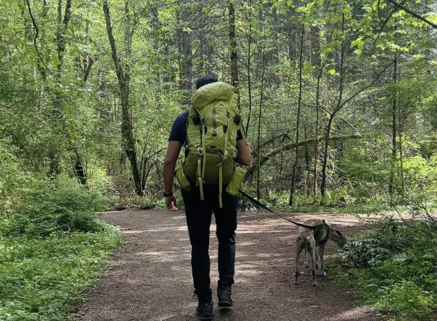
While Tysons is famous for its shopping malls and corporate headquarters, its surprising abundance of hidden trails and parks proves that deep nature is always just minutes away—a green reality that aligns perfectly with Fairfax County’s ongoing transformation of the area into a walkable, vibrant, and sustainable residential community.
Group 1: Unique Botanical & Historic Sites
Best for: Botanical walks, cultural landmarks, and architectural local history.
Meadowlark Botanical Gardens
- Google Maps: https://maps.app.goo.gl/SizKtBNDDx39j2D59
- Proximity: ~4.7 Miles from Tysons (center), ~3.9 Miles from Spring Hill Metro
- Located across a 95-acre ornamental expanse, this public sanctuary features beautifully manicured gardens, large lakes, and unique plant collections managed by NOVA Parks.
- The property's main architectural jewel is the Korean Bell Garden, a stunning pavilion housing a three-ton bronze Bell of Peace and public art that symbolizes cultural ties between Virginia and South Korea.
- For a peaceful walk, visitors can explore a 2.5-mile network of paved paths that loop through extensive collections of native wildflowers, cherry trees, lotuses, and azaleas.
- The terrain is rolling and gently sloped, featuring wide, smooth asphalt paths and boardwalks that make walking very accessible, though there are some moderate inclines.
- Designed as a passive, protected horticultural collection, the property charges a daily admission fee and strictly prohibits active sports, picnics, and pets—though leashed dogs are permitted on designated "Pup Stroll Wednesdays."
- There is a large parking lot, gift shop, and restroom facilities.
- There is a daily admissions fee ($9 adults / $5 youth and seniors).
Freedom Hill Park
- Google Maps: https://maps.app.goo.gl/fyZietALsKrPC1LQ8
- Proximity: ~1.4 Miles from Tysons (center), ~1.3 Miles from Spring Hill Metro
- Located across a charming 4-acre historic parcel right on Old Courthouse Road, this shaded neighborhood park preserves one of the area's few remaining Civil War earthen fortifications.
- The Civil War Redoubt: The park's main historical feature is a preserved 1864 military redoubt (a small earthen fort) built by the Fifth Pennsylvania Heavy Artillery to protect courier lines from raids by Mosby's Rangers.
- For a brief historical stroll, visitors can walk a short, paved loop trail (under 0.5 miles) that features educational plaques detailing the fort's history and the area’s legacy as one of Fairfax County’s earliest free Black communities.
- The terrain is completely flat and heavily shaded, making it an effortless, highly accessible walk for families, strollers, and locals looking for a quick nature breather.
- Designed as a peaceful commemorative space, the park features a modern children's playground, open grassy space, and a few quiet picnic tables beneath a dense tree canopy.
- There is limited on-site parking via a small paved lot, though the park's compact size means spots turnover quickly throughout the day.
Group 2: Rugged Trails & Nature Preserves
Best for: Hiking, immersive nature escapes, and scenic singletrack or wooded trails.
Wolf Trap Loop Trail
- Google Maps: https://maps.app.goo.gl/wwyrSswbsmvRG6RD8
- Proximity: ~3.8 Miles from Tysons (center), 2.8 Miles from Spring Hill
- Located near the performing arts center, this trail (marked by blue blazes) offers a surprising, 2.5-mile escape into nature right on the edge of Tysons and Vienna.
- The trail winds through 65 acres of quiet woodlands, follows the babbling waters of Wolf Trap Creek, and passes the scenic Wolf Trap Farm Pond.
- Because the park borders the Dulles Toll Road, parts of the trail hug the highway's sound barrier walls—creating a unique, stark contrast between heavy highway noise and deep forest stillness just minutes later.
- It features a bit of rolling, hilly terrain with plenty of exposed roots, wooden footbridges, and shaded benches to relax on along the way.
- If you have very small kids or are looking for something a bit shorter and flatter, the overlapping 1.5-mile orange-blazed TRACK Trail is an excellent alternative that starts right by the meadow.
Clark's Crossing Park
- Google Maps: https://maps.app.goo.gl/wqtdKzWFv7ErqcwaA
- Proximity: ~3.9 Miles from Tysons (center), ~4.5 Miles from Spring Hill
- Located across a 143-acre expanse of stream valley woodlands in Vienna, this park protects local wildlife corridors along Piney Branch Creek.
- The park’s key feature is its immediate entry point to the Washington & Old Dominion (W&OD) Railroad Trail—a paved, 45-mile multi-use rail trail.
- For a localized hike, visitors can explore an approximate 3.2-mile network of unpaved, natural-surface trails that wind through deep tree canopies.
- The Clark's Crossing terrain is flat and beginner-friendly, offering gentle, shaded dirt paths that are perfect for families, dog walkers, and casual strollers.
- Designed as an equestrian-friendly hub, the park features open grassy clearings, a quiet meditation bench, and a gravel parking zone tailored for horse trailers.
- The small trailhead parking lot fills up fast on weekend mornings due to heavy traffic from regional cyclists and runners.
Foxstone Park
- Google Maps: https://maps.app.goo.gl/hrPXH291koac5oEp8
- Proximity: ~2 Miles from Tysons (center), ~3.2 Miles from Spring Hill
- This 14.4-acre county park features a quiet, mostly wooded stream valley following Wolftrap Creek, serving as a peaceful green corridor. The park features a basketball court, a small children's playground, and an open grassy area near the trails.
- The Cold War History: The park's most famous legacy is its history of international espionage, where FBI agent-turned-Soviet-spy Robert Hanssen placed secret messages near the rustic wooden Foxstone Park entrance sign (off Creek Crossing Road).
- The Spy Bridge: To see the drop site itself, visitors can take the paved path just a few yards into the woods to the wooden footbridge over Wolftrap Creek.
- The terrain is flat and easy—featuring a short, leisurely paved or gravel pathway network totaling roughly 2.3 miles out-and-back.
- The trail connects directly into the broader Wolf Trap National Park trail system. Local hikers frequently use Foxstone Park as an entry point to walk into the national park grounds.
- Because it is a small, protected community footprint, there are no restroom facilities or parking lots.
Raglan Road Park
- Google Maps: https://maps.app.goo.gl/GucPuJSgdsSZ4mLh8
- Proximity: ~1.9 Miles from Tysons (center), ~1.8 Miles from Spring Hill
- Located across an approximate 11-acre tract of dense, undeveloped woods in Vienna, this hidden stream valley park buffers local neighborhoods from the bustling Route 7 corridor.
- The Trail Access: The park's main feature is the Vesper Trail, a paved asphalt multi-use path that safely routes pedestrians and cyclists away from major commuter roads toward local residential areas.
- For a nature walk, visitors can step off the paved spine onto a small network of unpaved, natural dirt footpaths that wind deeper through the heavily wooded stream bed.
- The terrain is mostly flat and shaded, offering a quick, easy green escape for nearby apartment dwellers, daily dog walkers, and local stroller pushers.
- Designed as a purely passive nature preserve, the park deliberately leaves the landscape wild, opting out of typical developed amenities like public playgrounds, sports courts, or restrooms.
- There is no public parking lot on-site.
Scotts Run Nature Preserve
- Google Maps: https://maps.app.goo.gl/AooERswttDv2E2Qm6
- Proximity: ~6.9 Miles from Tysons (center), ~6 Miles from Spring Hill
- Located inside a 384-acre preserve in McLean, this park protects one of the rarest biological ecosystems in the mid-Atlantic, featuring dramatic rocky cliffs, deep valleys, and a long shoreline along the Potomac River.
- The Waterfall: The park's most famous attraction is Scotts Run Falls, a stunning 15-foot rocky waterfall where the main creek drops directly into the Potomac River. To reach it quickly, take the wide, gravel Stream Trail from the main east parking lot for a direct, 0.7-mile trek (1.4 miles round-trip) that features two concrete stepping-stone water crossings.
- For a longer adventure, hikers can piece together an approximate 2.5-to-3.3-mile perimeter loop utilizing parts of the light-blue blazed Potomac Heritage Trail, which climbs steep, rugged bluffs to offer panoramic views at the Stubblefield Falls Overlook.
- The terrain is significantly more rugged than Wolf Trap—expect steep, muddy hills, exposed rock scrambles along the river, and cliffside drop-offs that require sturdy footwear.
- Because of the fast, unpredictable currents of the Potomac River, swimming, wading, or bathing is strictly prohibited anywhere in the preserve, including at the waterfall. Alcohol is also prohibited, and coolers or glass bottles are banned from the trails.
- The main parking lot off Georgetown Pike fills up fast on weekends. If it's packed, try the secondary lot up the road.
- CLOSURES: In 2026, the entire preserve closed for a rehabilitation project. Check the Fairfax County Park Authority site for re-opening info.
Group 3: Neighborhood Parks & Sports Complexes
Best for: Playgrounds, recreation fields, organized sports, and community fitness centers.
Spring Hill District Park
- Google Maps: https://maps.app.goo.gl/1V2kCjKk2y1Dsc8d8
- Proximity: ~2.1 Miles from Tysons (center), ~0.5 Miles from Spring Hill Metro
- Located across a sprawling 60-acre athletic complex in McLean, this bustling district park serves as a major hub for youth sports, community fitness, and regional tournaments.
- The RECenter: The park's crown jewel is the Spring Hill RECenter, a massive indoor facility featuring a year-round heated pool, a fully equipped fitness center, indoor sports courts, and a running track.
- For outdoor recreation, visitors can utilize three synthetic turf fields equipped with professional lighting, permanent restrooms, and modern spectator areas.
- The trail options consist of a short network of paved perimeter paths that wrap around the athletic complexes, making it an easy, flat option for casual walking or jogging.
- Designed primarily for active sports rather than a wild hike, the park also includes a vibrant public playground and multiple dedicated field layouts for soccer, lacrosse, and baseball.
- There is ample on-site parking shared between the outdoor athletic fields and the indoor RECenter, though spaces fill up quickly during weekend sports tournaments.
Lewinsville Park
- Google Maps: https://maps.app.goo.gl/A5msdJnBrojEPZ4h6
- Proximity: ~2.4 Miles from Tysons (center), ~4 Miles from Spring Hill Metro
- Located across a sprawling 56-acre recreational footprint in McLean, this active community hub seamlessly blends historical architecture with premier athletic facilities.
- The Historic House: The park's structural centerpiece is the Lewinsville Historic House, a beautifully restored 1874 homestead that anchors the property and serves as a venue for community programs and local events.
- For outdoor recreation, visitors can utilize multiple lighted sports facilities, including premier soccer fields, baseball diamonds, basketball courts, and a highly popular public tennis and pickleball complex.
- The trail layout features a network of smooth, paved perimeter pathways that loop around the athletic fields and cut through quiet, wooded groves on the edge of the property.
- Designed to cater to a wide range of community interests, the park also houses a vibrant children's playground, a public pavilion, and a widely used community garden plot system.
- There is ample dedicated asphalt parking split across multiple lots on-site, though spaces can become incredibly tight during weekend youth sports leagues and evening tournaments.
Pimmit Hills Park / Olney Park
- Google Maps: https://maps.app.goo.gl/vXW6mB2zLk6aw7ho7
- Proximity: ~2.4 Miles from Tysons (center), ~3.4 Miles from Spring Hill Metro
- Located across a 13-acre neighborhood footprint on the border of Falls Church and McLean, this active community park officially bears the name Olney Park on its physical signage but is categorized on Google Maps as Pimmit Hills Park.
- The Trail Gateway: The park's standout feature for hikers is its role as the premier western staging ground for the Pimmit Run Trail, providing direct and legal entry to the wooded stream valley without navigating confusing neighborhood easements.
- For an afternoon hike, visitors can step off the park's paved walkways straight onto the Pimmit Run singletrack, embarking on a rugged, multi-mile trek that tracks the stream valley all the way east toward the Potomac River.
- The on-site terrain transitions instantly from a flat, manicured upper park level into the mildly technical, root-laden dirt footpaths of the natural stream valley below.
- Designed as a highly functional neighborhood hub, the upper park features fully developed recreational amenities including a shaded playground, tennis and basketball courts, a baseball diamond, and a reservable picnic shelter.
- There is a dedicated asphalt parking lot on-site at 1840 Olney Road, offering stress-free parking and seasonal public restrooms that serve as the perfect base camp for long trail walks.
McLean Hamlet Park
- Google Maps: https://maps.app.goo.gl/pyDrMMhs1dmFMBQ19
- Proximity: ~2.4 Miles from Tysons (center), ~2.2 Miles from Spring Hill
- Located across a 16.8-acre footprint nestled quietly behind a residential neighborhood in McLean, this community stream valley park provides a peaceful patch of green space along Scott Run.
- The park's primary neighborhood attraction is its shaded playground, which features dedicated, separate play structures for older kids and toddlers alongside a fenced-in safety layout.
- For a short stroll, visitors can walk a linear, 0.5-to-1-mile network of unpaved, natural-surface dirt and grass paths that wind through the wooded areas.
- The terrain is flat and gentle, making it an easy, low-intensity spot for local dog walkers, parents with young children, and casual neighborhood walkers.
- Designed primarily for community recreation, the park features open grassy clearings perfect for family picnics, relaxing under the trees, or a casual game of catch.
- There is no dedicated parking lot on-site.
Green Living in Tysons, VA
Living at Adaire puts you right at the intersection of Tysons' exciting transformation. With the Spring Hill Metro at your doorstep, you have seamless access to Tysons' urban energy, alongside easy connections to the area's best hidden parks and green spaces. Explore our light-filled modern apartments and unique luxury amenities.